Sagada, Mountain Province
22-24 January 2016
The planning of our Sagada Adventure started in December 2015. According to our original travel plan, we were supposed to do it on a backpacking style however, it was early January 2016 when we finally decided to do it as a private tour.
Day 01: Travel to Sagada from Manila
 We had a late shopping at Pure Gold Paranaque to get some supplies that we will be needing for the trip.
We left Manila at 2045H on a private van. We were eight including our van driver Jason. We were supposed to be nine however, two participants Icar and Joel begged off at the last minute for personal reasons.
We took the highway from our office in Paranaque to Manila and then NLEX. We didn't take TPLEX, however, and pressed north via NLEX. We passed through Clark, Nueva Ecija and Nueva Vizcaya towards the Mountain Province.
Jason said our travel time will be twelve hours approximately.
We had several rendezvous along the way to rest and refuel. Our first was at Petron NLEX. It was past eleven in the evening.
As usual, the team had fun inside the van while on travel. I took the front seat beside the driver.
We had our second stop over at Nueva Vizcaya and rested for thirty minutes. It was 0217H on the 23rd of January. We checked the nearby 7-11 store in search for a coffee. Unfortunately, the vendo machine ran dry and so the rest of the team decided to try the "Balot" and the hot chicken lugaw (congee).

It was a long drive from Nueva Vizcaya to the Mountain Province on a winding road. While the rest was asleep, I tried to stay awake and maintain a light conversation with the driver just to keep him awake and alert.
It was 0648H when we reached Banaue. We stopped at the welcome arc together with other travelers. It was a perfect moment to take photos because the sun was just shining at that time.

We continued our journey up north and at 0735H we were at the Rice Terraces viewing deck. We had our breakfast.

We were served with the traditional Mountain Province brown rice. I ordered longganisa (sausage) and an organic coffee.


There is a souvenir shop nearby full of wood carvings. Ms. Weng got a very nice pair of wooden chair carved like a palm.
From the viewing deck, we pressed north and reached Sagada at 1015H. We were booked at Canaway Inn but since the main building was full at that time, we took the annex building and we occupied the third floor.
Day 02: Spelunking at Sumaguing
Our activity on the first day was spelunking at the Sumaguing Cave. It was scheduled at 1400H. We went out of the inn for lunch and for early souvenir shopping.
We had lunch at the "Pinikpikan Restaurant" and we were served a chicken menu called "Pinikpikan". According to the restaurant manager, it's a best seller menu and a must-try.
After having lunch, we decided to check the nearby souvenir shop. I got two navy blue t-shirts and since I left my hiking hat at home, I got a new one.
At exactly 1400H, we were all ready for the spelunking. We walked all the way to the road crossing and waited there for our guide.

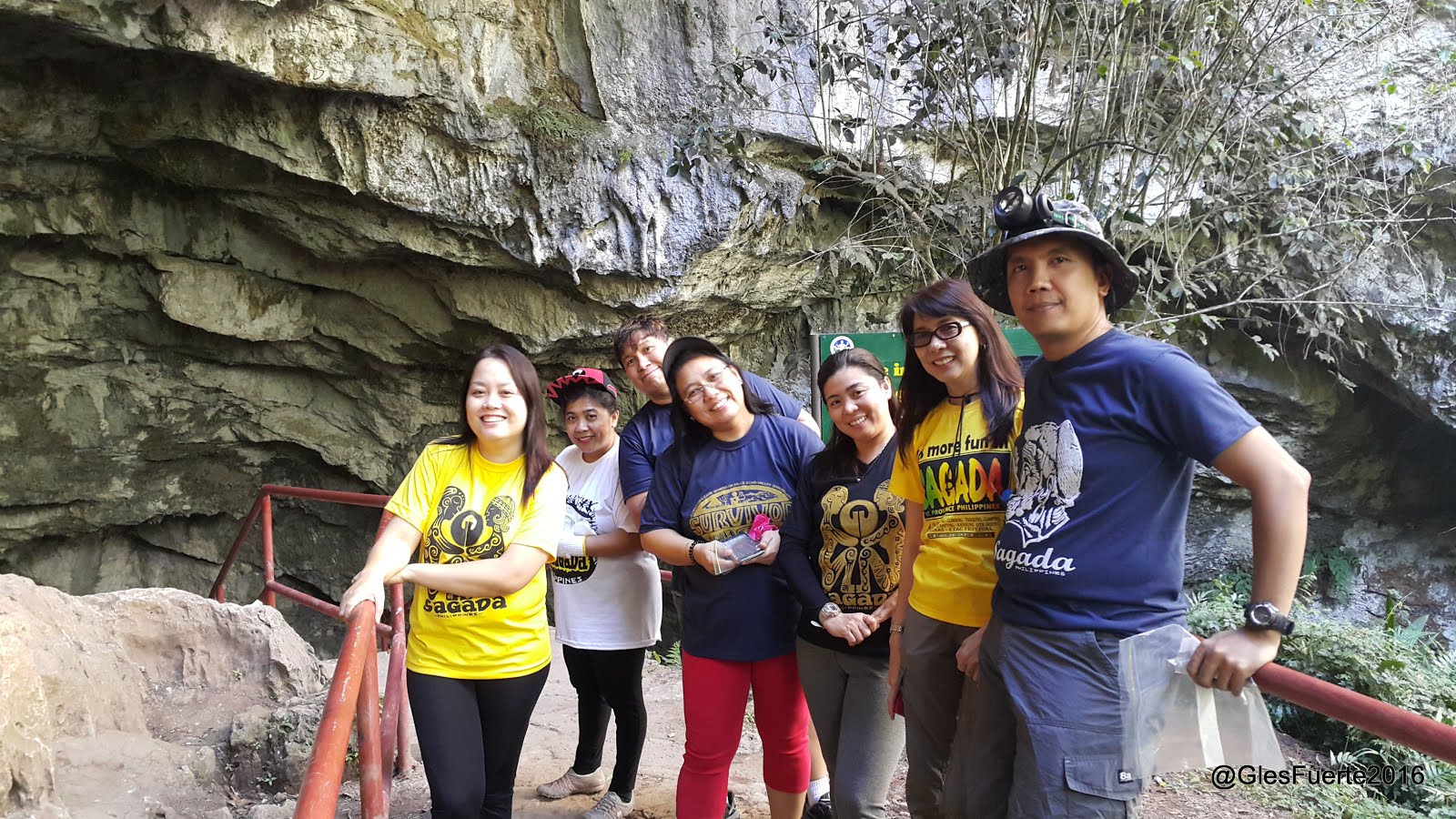
We met a young "FBI" (Full-Blooded-Igorot), "Theodore". According to our guide he has another name in the local dialect.
Aside from being so friendly, accommodating and respectful, one thing that I would always remember of Theodore was his "wit". Everyone of us agreed that he has the "talent" or "skill" of saying things that are clever and so funny.
For instance, these are few lines that I still remember. These conversations happened inside the cave.
Rhea: Theodore, saan ba ako tatapak? (Where will I step?)
Theodore: Ma'am sa bato po... (Ma'am please step on the stone)
Weng: Naku! malalim ba yung tubig na yan Theodore? (Theodore, is the water deep?)
Theodore: Hanggang dibdib po yan ma'am... ng pato! (It's chest-deep of a dock)
We stared the adventure at 1444H. At the entrance of the cave, we were all fully loaded - we had our trekking poles, small backpacks, water bottles, camera, etc. However, we were adviced by Theodore to leave everything behind because we will be getting through narrow passages and it's simply impossible to bring bags, poles, etc. so we left all our gears at the van.


Since I wanted to take photos inside the cave, I asked Theodore to carry my DSLR camera for me. He was carrying a "Hasag" (petroleum lamp) that served as our beacon inside the dark realm. I was also using my head lamp.


We had a short briefing at the entrance of the cave and then we proceeded.


According to Theodore, the cave has three levels - the first level is where the slippery rocks and the bat lairs are located. The second level is where the rock formations are and finally the third level is where we are going to do the tunneling.
Sumaguing cave is a deep vertical non-commercial cave as compared to the Underground River in Palawan which is generally long horizontal cave.
We started spelunking at 1457H. The place was dark and it was very slippery. I was planning to remove my slippers at that time just to have a better grip on the rocks however our guide said not to.
The steep trail and the slippery rocks reminded me of my experience when we climbed the slippery trail of Mt. Mayon on a rainy season.
I believed there were more than a hundred thousand bats at the ceiling of the the cave at that time because of their sound.
At 1549H, we reached the end of the first level and as we moved deeper, we saw the magnificence and grandeur of the cave.

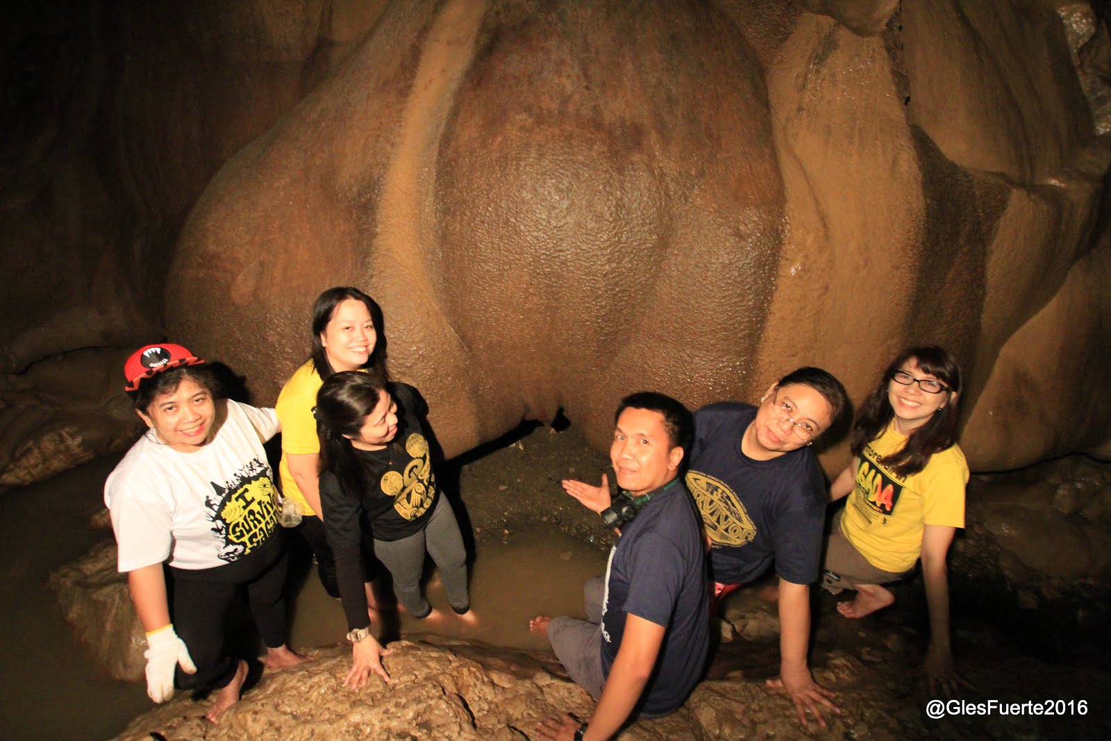
We were all in awe of the rock formations, stalactites and stalagmites all around us. The water inside the cave is cool and crystal clear.


Just like the stalactites and stalagmites in the Underground River of Palawan, those in Sumaguing are no less amazing. The beauty of the rock formations are beyond compare.


As we walked and climbed the rock formations, Theodore had to stop us many times over for photo and to marvel at the grandeur of the art of mother nature. These rock formations are the results of mother nature's work for thousands or even millions of years.


At 1617H we were at the end of the rock formations. At this point, we had another briefing with Theodore for the third level - tunneling.
At first, he was hesitant to bring us through the narrow watery passage but at the end, we all decided to proceed.
At the entrance of the narrow and watery passage we had to crawl beneath the rocks. There are passages that are too narrow that we had to enter feet or head first.


There is a portion inside the tunnel where we had to hang ourselves on a rope and slowly descend on a ice-cold chest deep water and walk slowly to the other end of the pool.


We had much adventures inside the narrow tunnels of the cave and we managed to get back to the rock formations at 1707H.


From there we continued our ascend back to the cave entrance.


We were back at the cave entrance at 1801H.
From Sumaguing Cave, the team decided to drive straight to a nearby restaurant for dinner.
We had our dinner at a restaurant near the Yogurt House. After dinner, we visited the plaza for late souvenir shopping. We were all back at the inn at 2109H.
Day 03: Sunrise Viewing at Kiltepan Point, Explore St. Mary's Church and Trek to Echo Valley
On our last day at Sagada, we were scheduled to see the sunrise at the Kiltepan Point, explore St. Mary's Church and trek to the Echo Valley to see the hanging coffins.
We woke up early at 0300H and prepared for the sunrise viewing at Kiltepan Point.

We left the inn at 0408H. We took a jeep together with other tourists. Sunrise was at 0624H. We were at the Kiltepan Point at 0510H. It was very cold, fuggy and drizzling.

We waited at Hinode Cafe for the sunrise. At 0630H, we decided leave the place as it started to rain. From Kiltepan Point, we alighted in front of the St. Mary's Church.
At the site, Theodore was waiting for us. We started exploring St. Mary's Church at 0702H.
The old bell of the church is displayed at the entrance gate. Embossed on the bell was the date when it was probably cast - 1921. I was assuming then that the church was also built on the same date or maybe a little earlier.

The church is famous for its rose petal stained glass in front of the building.

I was trying to look for the historical marker to learn more of the church history but there was none.
St. Mary's Church is an Anglican Church. Theodore said, the Anglican faith was brought by the Americans to Sagada.


From the church, we started trekking to the Echo Valley. We passed by the Anglican cemetery where one of the SAF44 heroes was laid to rest.


According to our guide, the echo valley is also called "Baw-eng" in the Ilocano vernacular which means "echo".

We reached the hanging coffins at 0742H.
At 0810H we had our breakfast at Sagada before leaving for Baguio City.

At 0915H we proceeded to Baguio City via Kennon Road and through the Baguio-Bontoc (Halsema Highway). It was a five hour winding road trip.
We had a stop over along Halsema Highway to refuel and buy some vegetables.

At 1350H we reached La Trinidad and had our lunch. We proceeded to the Straw Berry farm at 1440H. It was raining at that time.


From the Straw Berry farm we passed by Baguio souvenir shop before heading back to Manila.
From Baguio we passed by La Union, Pangasinan and took TPLEX from there.
We were back home 2115H.
DIOS TI CUMUYOG, SAGADA!!
--o0o--


